Foreword
It is inevitable, the evening before a trip always leaves me pining for more rest. Though it is in these sleepless hours that I adapt; fumbling through my pack one last time, double knotting my laces, glazing over the map figuring alternative route options, reviewing the latest weather service data, scribing a small note to my wife and kids. These simple and menial tasks help etch away at the surface of time and ease my excitement of the days ahead. Stepping out into the coolness of early morning under the waning hours of darkness with my pack slung loosely over my shoulder always rekindles memories of past years trips and the jovial bright eyed conversations while loading up gear into the back of the vehicle. I've learned to cherish these seemingly mundane moments, recognizing that every moment spent away from my family is a gift and not a privilege.
Destination
The Gila Wilderness of southern New Mexico lives up to the reputation of enchantment, the potent brew of wild incantations found in the arid mesas, soaring pines, rugged mountains, deep canyons and undulating waters of the Gila River have had a lasting impact on me and has instilled a feverish desire to always return.
So we return. For this trip the plan was seemingly simple, we had all agreed to embrace arguably the most beautiful half of the Gila Wilderness in the shadows of the ancient volcanic Mogollons, a range of mountains extending 30 miles north-south in the western borders of the Gila Wilderness. Compared to the larger brethren up north, the Mogollon range has a relatively small footprint, however the intricacies and challenges still warrant great respect and caution.
Route
Trip duration: 3 days
Mileage: 36-40 miles
Date: 5/14-5/16/2010
Route: Whitewater Creek to South Fork Whitewater Creek via #207, #218, Spruce Creek, one or two others I probably forgot
Day #1, Catwalk-> Redstone Park, (13 miles)
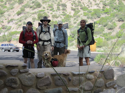
This trip was my brother in-law Ben Woods' brainchild, he is enroute to Kansas City, MO for culinary school and this trip would likely be his last for some unseen time. Joining us was Josh Tamminga, a NASA ballistics engineer and good friend of ours who has a background in alpine climbing, this would be his first backpacking trip in many years. Lastly, myself and my father in-law rounded out the ragtag posse of Gila wanderers, the two of us were still reeling from our last encounter with the Gila back in April on the eastern side of the Wilderness:
Waist High: Wandering the Deep Canyons and Lonely Mesas of the Gila
Vamos amigos! Our tires hit the coolness of I-10 west enroute for Glenwood, NM, the jump off point for our trip, shortly after 5am, the faint tint of blue and gray was beginning to dilute the black void above. The familiar whiteness of our smiles was only outdone by the rising sun outlining the ridge leading up to the famed Cookes Peak to our east as we headed towards Silver City.
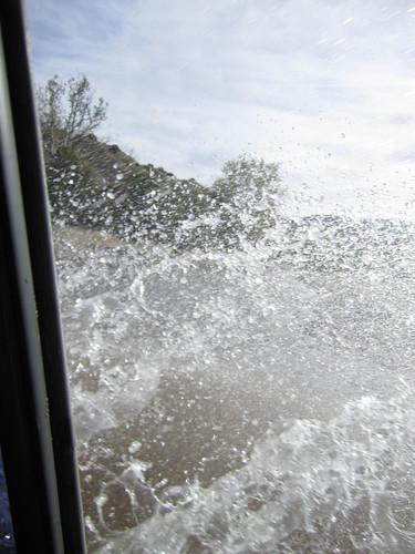
We arrived at the Catwalk National Recreation Trail shortly after 9am and was quickly greeted by the cool rushing waters of Whitewater Creek.
It didn't take long for us to quickly spill out of the rig and shoulder our packs, even the canine amongst us was ready for some quality time in the Gila.
Ben brought along his newly acquired MLD Superprophet and was thoroughly satisfied with the pack.
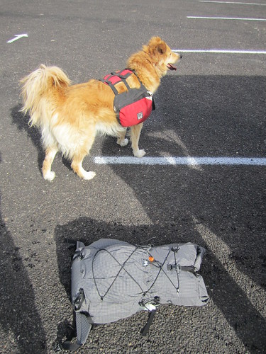
Band of ruffians
The Catwalk is a 1 mile section of recreational trail established by the US forest service, it sees quite a bit of visitation in the year due to its accessibility for a diverse group of people and most importantly the beauty and geological wonder of the lower extremities of Whitewater Canyon.

The quality of light was unmatched on this particular morning, I was intimately engaged with every view presented before me as we made our way into the canyon.
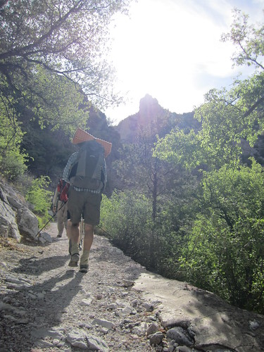
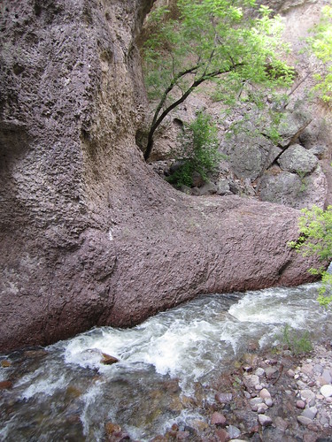
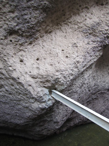
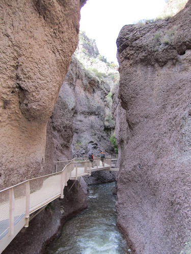
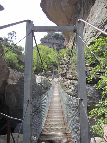
There is an ingenious suspension system that was created to allow visitors to float over the surface of Whitewater Creek.
Marty and Ben thread their way along the path through the canyon walls.
Natures resiliency.
Josh and Holly make their way down the steps towards the end of the Catwalk.
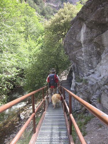
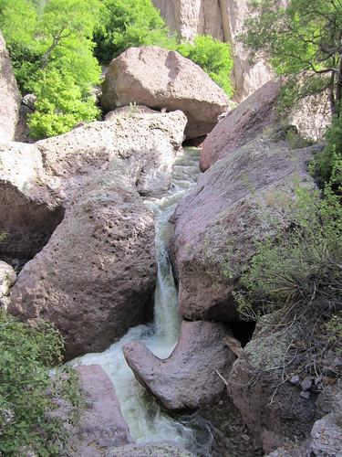
There are several suspension and truss bridges that were built to cross the more tumultuous sections of Whitewater Creek along the Catwalk where large displaced boulders and tight canyon walls are more frequent.
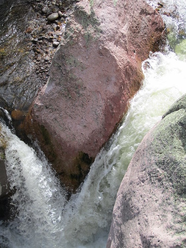
Below our feet.
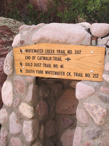
We arrived to the terminus of the Catwalk Recreation Trail with our jaws agape in awe of the beauty of the morning. We quickly made our way into the abrupt transition onto trail #207 enroute to Redstone Park, a 12 mile hike up the lichen carpeted volcanic formations carved out by Whitewater Creek, our destination for evening camp.
The lushness of the vegetation was unlike anything I had seen in the Gila, we had come at the height of flower bloom and the presence of spring reigned supreme over the canyon.
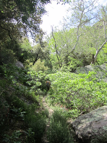
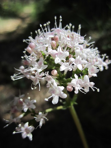
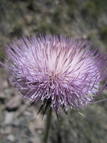
Looking East towards the first glimpses of the Mogollons.
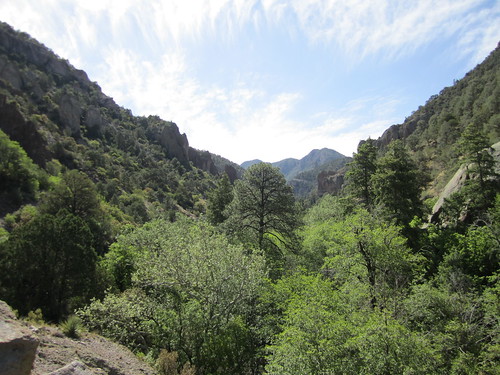
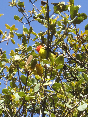
The chorus of nature was tickling the hairs of our ears, it is amazing how in the early morning hours that even the rising of the sun emits a sound that can be both felt and heard. Complimenting the chorus was this decorated bird that both pleased the ears and eyes with its' presence.
On numerous occasions I failed to remember that I was hiking in the fringes of the Chihuahuan desert with views like these.
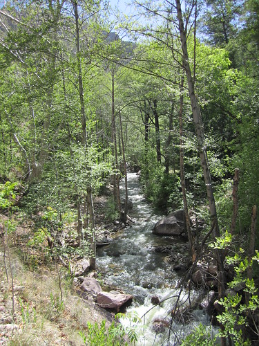
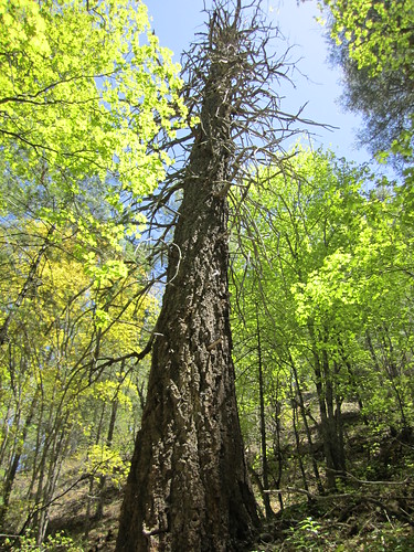
This is the last hot and exposed segement of the day, temps were already into the mid 70's and the increasingly higher arch of the sun managed to wring a little sweat out of us. Shortly after this we made our way back down into Whitewater Creek where we would encounter numerous crossings and cooler temperatures to Redstone Park.

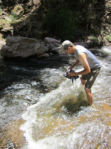
In many cases along trail #207, the trail is made up of several cairns that sporadically leap back and forth across Whitewater creek. Navigation is easy but slow. None of us ever carried more than 1L at a time during the first day. We relied on Micropur tablets for treatment as the clarity and quality of the water was superb.
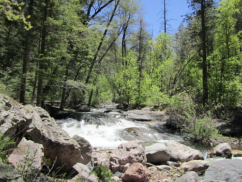
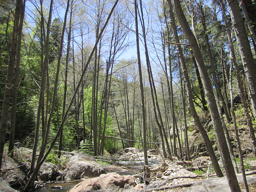

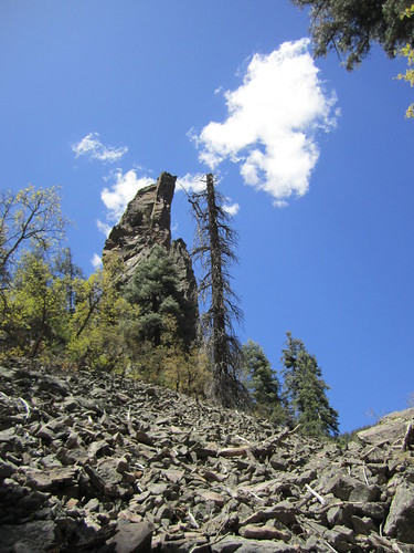
Unlike the many beautiful "green tunnel" trails found in much of the eastern portion of the United States, dense sections of trail in the desert southwest can still be interrupted by rock falls and spire formations lined along the waters edge.
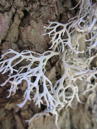
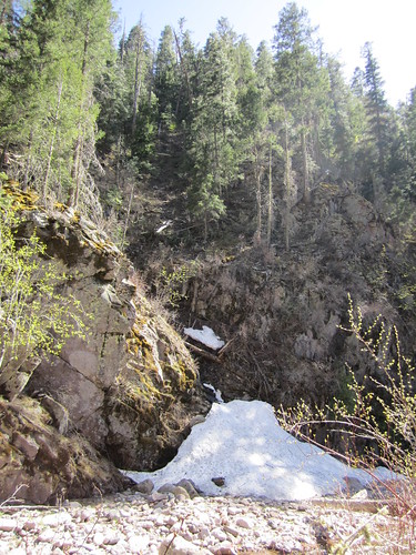
Evidence of the abundant snowfall accumulation the Mogollons were adorned with this past winter. Immediately after taking this photograph I was distracted trailside by a four legged reptilian creature darting in and out of a downed Ponderosa. I'm a big kid at heart.
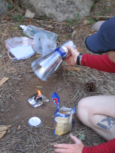
We arrived at Redstone in a reasonable amount of time, the sun was still high overhead and we had plenty of time to settle into the evening. Ben made quick use of his new GVP Caldera Cone setup available from the quality crew at Trail Designs to start a boil for his evening meal. Ben debated for a day or two over which Caldera setup to bring for this trip as there was a great chance we would be utilizing camp fires in the evening and morning hours. He opted to tote the feathery GVP Caldera system due to its simplicity, low weight and clean nature. Despite the small amount of soot deposited on the bottom of the Foster can from the esbit tablets the GVP setup shined very well and is a very no frills kit that efficiently aids in getting food in your gullet when UL backpacking.
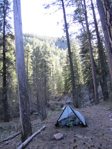
Ben and Marty shared shelter for the 3 days, using Bens GG Squall Classic.
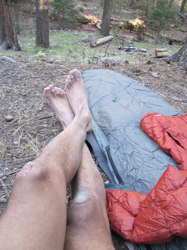
Redstone Park is at an elevation of 7600 ft. so we were expecting temperatures to hover around 35F for the evening, with no chance for precipitation and calm winds. I settled on using my Nunatak Arc Specialist custom inside my Mountain Laurel Designs Superlight bivy and found this combination to shine. The Monk tarp was never once pitched and unfortunately served as a great pillow.
With satisfied appetites and a pinch of rum and some smoke to enhance the evening around the fire, we talked and laughed with gusto late into the night finally nodding off around midnight.
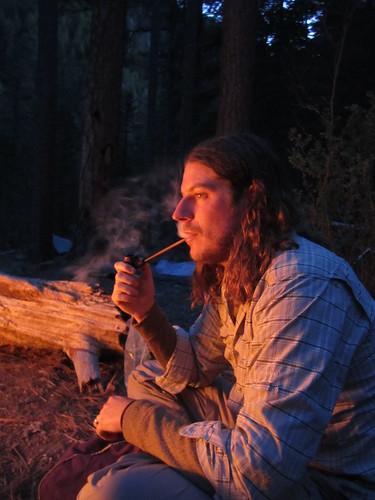


Day #2, Redstone Park -> Spider Creek, (mileage unknown, est. 12-14)
Morning came quickly. I slept quite warm and had to vent my bivy open twice in the night to let out some heat. Typically we'd be on the trail early to get a start on the day, but we were all slow moving and it was quite nice.
Bens countenance in the morning was priceless, it said "I had too much rum and not enough sleep!"
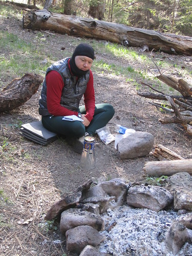
After fueling up and loading our packs we headed a few hundred yards back down trail to the Holt-Apache trail junction #181 to begin our ascent out of Whitewater Creek to Spider Saddle the next junction about 2500 ft. above us.

If you are planning on traveling in the Mogollons you should be conditioned for steep climbs in this canyon country. The switchbacks are short and steep and you pick up a tremendous amount of elevation in a short distance. I'm in training mode for some upcoming late summer mountain trail races so I took this opportunity to push the pace early on and get in a run, sans shirt and with my ULA Ohm sitting at 11lbs. of gear/consumables I was able to run much of the climb out of Redstone in short time.
Steeps heading out of Redstone.

Our group hit snow early on around 9000ft. and our pace dropped some. It was relatively easy navigating this section of snow, but we would later be subjected to snow conditions we didn't expect or prepare for in terms of navigation. We hadn't received solid beta regarding snow conditions from the wilderness district in Glenwood, we knew we'd encounter snow, but didn't think we'd lose trail or miss the blazes. Day 2 was in its infancy and would mature into an ugly beast by days end.
Every backpacker will find themselves having to make important decisions when out in the backcountry. The photo below marks that very point. Our original plan was to head east and climb up to Black Mtn Spring to connect with trail #218 making a large loop out of the 3 days. Knowing the snow conditions we had already encountered we should have known that there was a high chance for slow snowy miles with more snow and climbing. We decided to press on and stick to the plan, the idea of cutting our trip and taking the easy route to Spider Saddle wasn't one we were willing to accept at the time, in hindsight, I believe there is a small part of each of us that wishes we had.
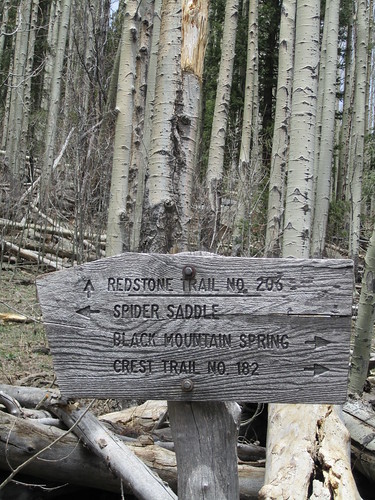
Josh, being the mellow guy that he is, was along for the ride. Here he is resting immediately before we begin the failed attempt to navigate up and around Black Mountain.
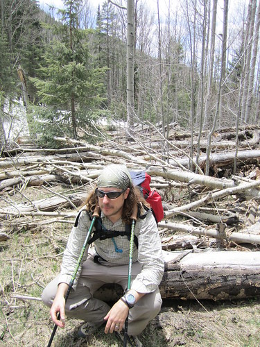
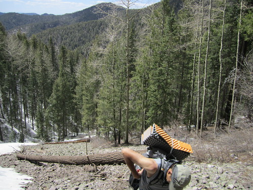
After long delegation and discussion, locating where we were on the map since we had lost trail in the deep snow, we mutually agreed to abort our plan to navigate around Black Mountain and chose to spill down the NW facing flank of Black into Spruce Creek. Spruce Creek would meet up at our connecting trail, it looked simple enough on the map, but it would be a very slow and difficult few miles down and through Spruce Creek. We descended the steep side of Black via glissade, scrambling and tumbling through snow, saplings and scree. The hairs on my kneck rose on several occasions as we made our way down 3000 ft. of mountain....straight down. Surprisingly I made it down without snapping a single trekking pole, there were some serious close calls and I think this trip can attest to the durability of the Titanium Goat AGP's.
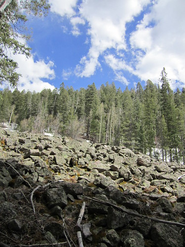
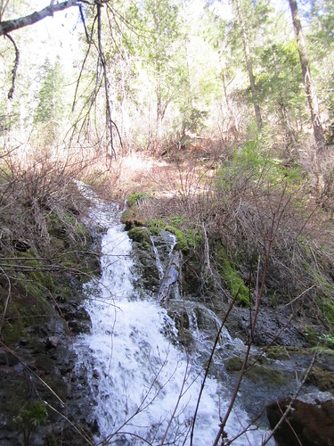
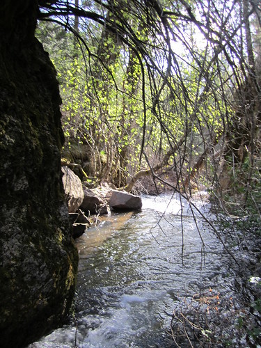
We made it into Spruce Creek and was forced to walk through the waters all the way out due to the steep canyon walls on both sides. Despite how slow the miles were and hard on the feet and legs, the sights and remoteness of Spruce Creek were rivaled by none. We new very few people made their way through this isolated region of the Gila. This was true wilderness we were immersed in and the countless scratches on our bodies are proof of the pudding.
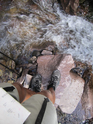
My shoes and legs had taken a serious beating. I took inventory and was glad to find I had all my toes, fingers and appendages, though my NB MT 100's had seen better days.

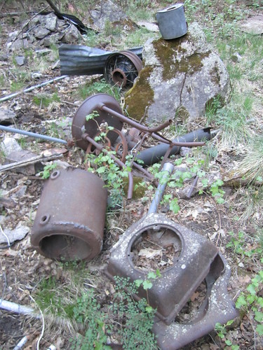
New Mexico is steeped in a rich history of mining operations. We were fortunate enough to stumble upon a failed mining operation probably dating back to the late 1800's and ending operation in the 40's. There were several settlements and outposts scattered over a course of 2 miles.
Several arduous hours later we arrived at the junction of Spruce Creek. Fatigue was settling into the core of each of us, and we were faced with a rather large dilemma. We could press on in the early hours of night by headlamp and make our way to Spider Creek which was originally our intended campsite for the night, or we could find the flattest patch of ground next to Spruce for the evening and bivouac. The darkness and subtle eeriness of Spruce was less than inviting so we pressed on.
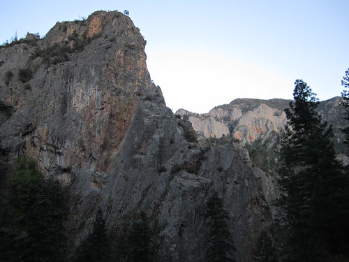
This was the view as we climbed out of Spruce Creek. Windy Point in the background looking SE.
We ended up hiking until 10pm that evening arriving at our next junction. It had been a physically and emotionally charged day and the mood of our small group was mixed, but far from crushed. We found a small niche along a large slab of rock and settled into a quiet evening under the stars with a small hobo fire to cook on and waste away the evening.
Day #3, Spider Creek -> Catwalk, (14 miles)
Whatever spirit was lost in the final hours of the previous day was quickly reignited with the warming rays of the sun as it split through the leaves and dust scattered outline of the ridge far above us, creeping slowly into our camp bringing well wishes and a new day.

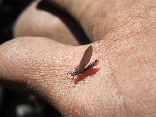
I did a short class 3 scramble up a small cascade and waited patiently on the rocks above the fall. It was shaping up to be a beautiful day and this fine mayfly specimen was my omen of the morning.
Dry Creek Canyon had experienced a fire that swept through years back, so it was a rather exposed and hot climb up to Camp Creek Saddle. There was an abundant amount of evidence that life was quickly returning to this region as Aspen patches in their youth permeated the gnarled crust of decaying blow down and scorched earth.


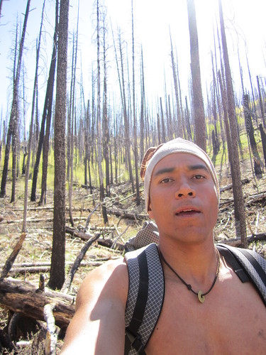
Temperatures were expected to be in the upper 70's for the day, as we ascended up to Camp Creek the mercury rose quickly. My BPL Beartooth Hoody was overqualified for this climb and my pace so I ditched it into my pack and pressed on towards the summit stopping once to snap this photo.
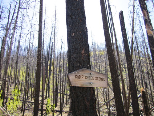
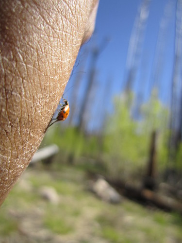
Relief came quickly and frequently after Camp Creek Saddle, the last stretch of our trip would take us all the way out through the South Fork of Whitewater Creek, arguably the most beautiful stretch of the Gila. If you find yourself in this canyon, don't forget to pack a rod as I sighted numerous brown, rainbow and perhaps a few endangered Gila trout.

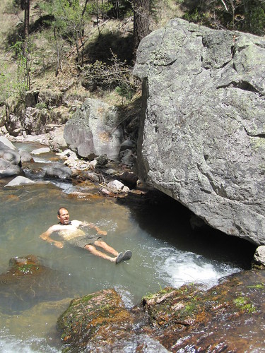
I hopped from swimming hole to swimming hole eschewing my light pack aside for a quick jump into the refreshing waters of South Whitewater Creek. The warm air was always present post dip. These are the subtle benefits to going super ultra light when backpacking in fair weather, you can afford the time to swim, fish, nap and take a lot of photos but still cover some ground without killing yourself.
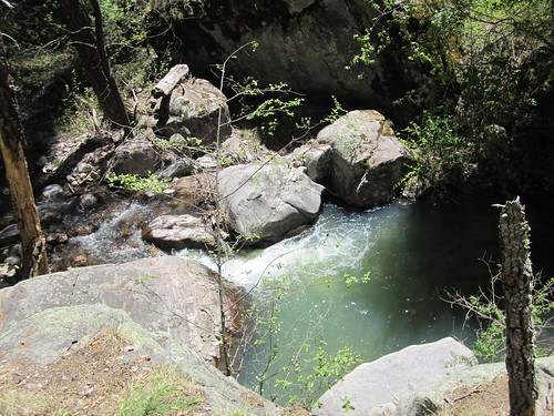
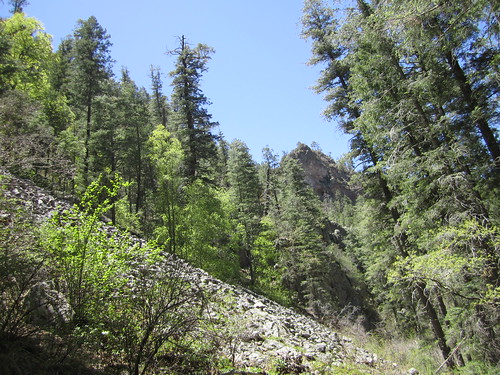

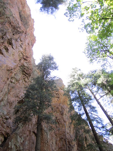
The pace was slow and enjoyable as we rounded out the final miles of our loop. Stellar views and perfect hiking conditions as the ones we were blessed with on Day #3 were not worth rushing and we savored every backcountry morsel we could stomach.

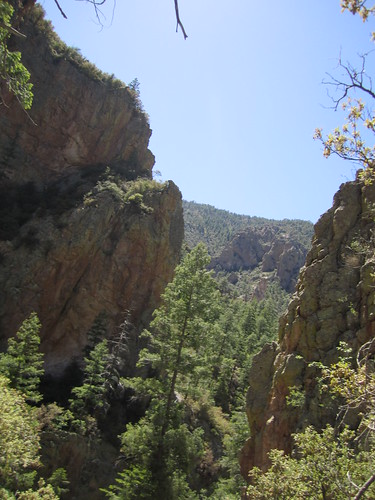
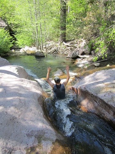
This was probably the highlight of the day, the sun had managed to warm the earth considerably and with every crossing the desire to take one last dip before we made it back to the trailhead taunted us. Patience is a virtue and the final swimming hole of the day couldn't have been more perfect. Whitewater Creek had carved out a smooth water slide into a head high pool of pure mountain stream water, this is the stuff kids dream of.
Ben makes his way down the long chute.
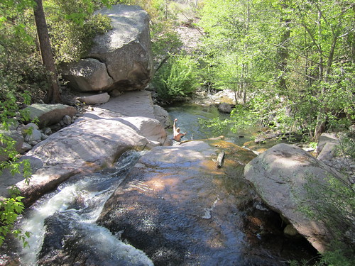
Marty was the guinea pig and was the first down the watery chute, he confirmed its user friendliness.
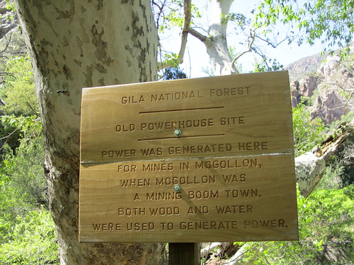
Down stream from the water chute we came across the historic site of the Mogollon power source. As the sign describes, this was the origination of power for fueling the operations that existed here beginning in the second half of the 1800's. This was the last trail junction and we hiked out the last 3 miles to the vehicle in quick time to share a few luke warm IPA's and (gulp) Rolling Rock.
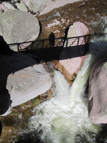
The final bridge crossing as we hiked the final steps out of Whitewater Creek along the Catwalk reminded me of the many transitions we had experienced emotionally, physically and geographically over the past 3 days. 3 days isn't much time in the backcountry when seen in the light of thru-hikers and many of the experienced members and staff that makes up this great community of Backpacking Light, however, for this group of desert rat pack of friends, family, fathers and husbands, it felt quite epic in nature and the lasting impact quick diversions into the backcountry such as this experiential one will linger far into our memory banks. Let it be noted, if you're willing to give completely of yourself then the Gila will undoubtedly give back ten fold. Cheers.
Past trip reports/photo essays:
Waist High: Wandering the Deep Canyons and Lonely Mesas of the Gila
Guadalupe Mountains National Park \"Fast and Light Overnight in West Texas High Country\"
Awesome blog, Eugene! We live in a truly beautiful state. Someday I hope to join you on a trip. Love ya. Dad
ReplyDeleteAs usual, your trip report was a delight to read. Day two sounds like it was a real bear. Glad you all made it through safely.
ReplyDeleteDondo